Introduction
Surveyors play a vital role in the UK, ensuring the accuracy and quality of construction and land development projects.
Their job involves collecting data, measuring land, and identifying potential issues.
To carry out their work effectively, surveyors rely on essential tools.
These tools enable them to accurately measure and assess various aspects of a project.
Without the right tools, surveyors would struggle to gather accurate data, resulting in potential errors and complications during construction or development.
These tools include measuring tapes, distance meters, theodolites, laser levels, and total stations.
Measuring tapes allow surveyors to determine distances accurately, while distance meters provide precise measurements of larger distances.
Theodolites, on the other hand, measure both horizontal and vertical angles, crucial for mapping.
Laser levels assist in determining level and flat surfaces, ensuring structures are built correctly.
Lastly, total stations integrate electronic distance measurement and theodolite functionalities, enabling surveyors to obtain precise and efficient measurements.
The importance of these tools cannot be understated in the surveying profession, as they allow surveyors to assess land conditions, identify potential obstacles, and ensure the accuracy and safety of construction projects.
By investing in quality tools and staying updated on technological advancements, surveyors can enhance their work efficiency and deliver reliable results.
Basic Essential Tools
Surveying is a critical profession that requires precision and accuracy in measuring various elements on land.
To ensure the accuracy of their measurements, surveyors must utilize a range of essential tools.
These tools enable them to gather reliable data, which is crucial for making informed decisions and creating accurate plans.
In this section, we will discuss the basic essential tools that every UK surveyor should have in their arsenal.
Measuring tape
One of the most important tools for surveyors is a measuring tape.
Accurate measurements are the foundation of any surveying project.
Whether it’s measuring the distance between two points or calculating the dimensions of a plot of land, a measuring tape is an indispensable tool.
It allows surveyors to obtain precise measurements, ensuring that their calculations are reliable and their plans are accurate.
Leveling instrument
Another crucial tool for surveyors is a leveling instrument.
This tool helps surveyors determine the vertical level of a location.
By using a leveling instrument, surveyors can accurately measure height differences and slopes.
This information is vital for creating topographic maps and identifying potential issues or challenges in the construction or development of a site.
The leveling instrument ensures that measurements are not distorted by uneven ground or sloping surfaces, providing precise data for analysis.
Tripod
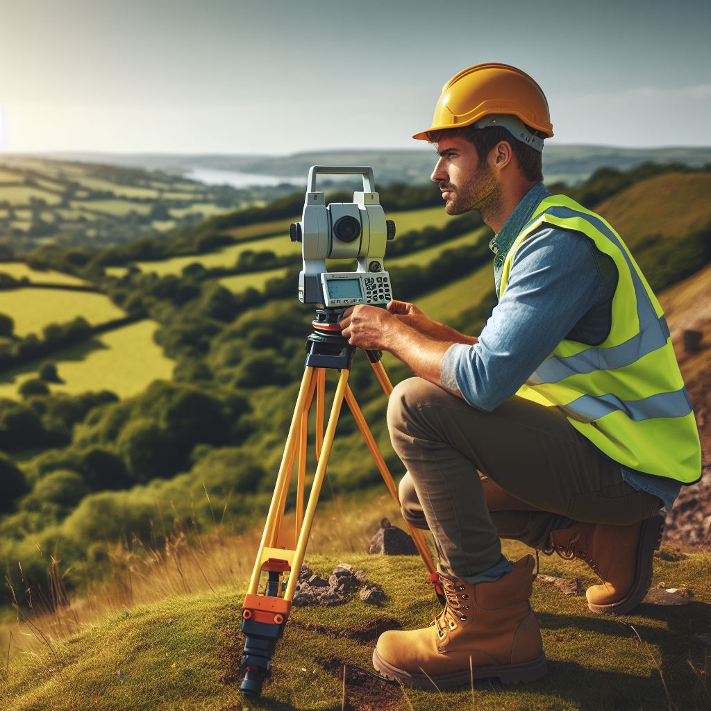
A tripod is a tool commonly used in conjunction with a leveling instrument.
It plays a crucial role in providing stability for the instrument, allowing surveyors to take accurate readings.
A tripod keeps the leveling instrument steady and prevents any unwanted movement that could compromise the accuracy of the measurements.
Additionally, a tripod enables surveyors to work comfortably, as it allows them to adjust the height of the instrument according to their preference.
In addition to these basic essential tools, there are several other tools that surveyors may find useful in their work.
These include a theodolite, which is used to measure horizontal and vertical angles, ensuring accurate alignment and positioning of various elements on a site.
A laser level is another valuable tool that uses laser technology to project a level line or a plumb line, improving precision in surveying tasks.
A total station is a high-tech tool that combines the functions of a theodolite and an electronic distance measurement device.
It enables surveyors to measure angles, distances, and vertical heights with high accuracy.
Total stations are especially beneficial for large-scale projects where accurate data collection is crucial.
In fact, surveyors rely on a range of essential tools to ensure accuracy in their measurements and data collection.
The measuring tape, leveling instrument, and tripod are fundamental tools that every UK surveyor should possess.
These tools enable them to gather precise data, create accurate plans, and make informed decisions.
Additionally, other advanced tools such as the theodolite, laser level, and total station can further enhance the accuracy and efficiency of surveying tasks.
Read: Sustainable Practices in UK Civil Engineering
Advanced Essential Tools
The role of a surveyor is crucial when it comes to land and property development.
To ensure accurate measurements and data collection, surveyors rely on advanced essential tools.
These tools not only enhance efficiency but also improve the overall quality of surveying tasks.
In this section, we will discuss three advanced essential tools extensively used by surveyors in the UK, namely the total station, GPS receiver, and 3D laser scanner.
Total station
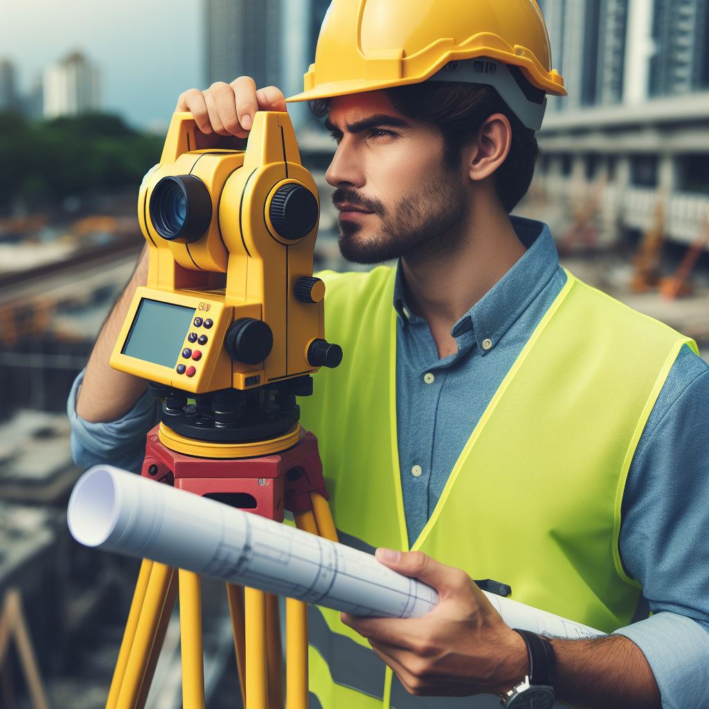
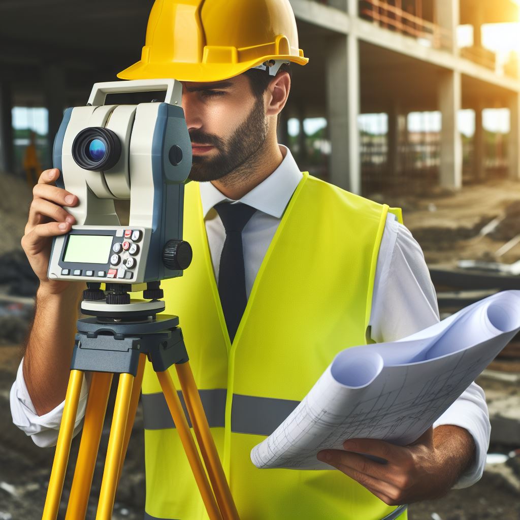
A total station is a highly advanced instrument that plays a vital role in modern surveying.
It combines various functionalities such as distance, angle, and coordinate measurements into a single device.
By using a total station, surveyors can significantly improve the accuracy and efficiency of their work.
The total station is equipped with optical and electronic components, including a theodolite for measuring angles and a distance meter.
Surveyors can collect precise measurements by simply pointing the total station at the target area and pressing a button.
This eliminates the need for manual measurements, reducing errors and saving a significant amount of time.
Global Positioning System (GPS) receiver
GPS technology has revolutionized surveying practices by providing accurate positioning data.
Surveyors can use GPS receivers to obtain precise latitude, longitude, and altitude measurements.
This eliminates the need for traditional methods, such as manual tape measurements or visual estimations.
Using a GPS receiver, surveyors can quickly and accurately determine the position of survey markers or control points.
This ensures that all measurements and data collected are aligned with the global standard, enhancing the overall accuracy of the survey.
3D laser scanner
A 3D laser scanner is an essential tool that enables surveyors to capture extensive and detailed information of a site.
It uses advanced laser technology to create point clouds, which can be used to develop highly accurate digital models and visualizations.
Personalized UK Career Consulting
Receive tailored career guidance designed just for you. Get actionable steps and expert support to boost your career in 1-3 days. Take control of your career now.
Get StartedSurveyors can use the 3D laser scanner to capture millions of data points within a short period.
This eliminates the need for traditional methods that involve manual measurements or observations.
With the captured data, surveyors can create precise and realistic digital models of the site, allowing for better visualization and analysis.
In short, advanced essential tools such as the total station, GPS receiver, and 3D laser scanner greatly aid surveyors in their tasks.
These tools improve efficiency, accuracy, and overall surveying quality.
Embracing advanced technology not only enhances the profession but also ensures the successful completion of projects in the UK’s surveying industry.
Read: Women in UK Architecture: Breaking Barriers

Gain More Insights: Women in Tech: UK Technician Careers
Computer-based Tools
Surveying software
Surveying software has revolutionized the way surveyors collect, analyze, and draft reports.
With a wide range of software options available, surveyors can choose the one that best fits their needs.
These tools aid in data collection by providing accurate measurements and precise calculations.
They also streamline the analysis process, allowing surveyors to quickly interpret and draw conclusions from their findings.
Additionally, surveying software enables surveyors to create detailed reports that are clear and visually appealing.
Geographic Information System (GIS) software
GIS software is a valuable tool for surveyors, as it allows them to manage and visualize spatial data effectively.
With GIS software, surveyors can easily store, manipulate, and analyze geographic information.
It provides the ability to overlay different data layers, such as aerial imagery or topographic maps, to gain a comprehensive understanding of an area.
This aids in the decision-making process, enabling surveyors to make informed choices based on the geographic context of their projects.
GIS software also facilitates collaboration by allowing multiple users to access and work on the same data simultaneously.
Building Information Modeling (BIM) software
BIM software is increasingly being utilized by surveyors to support design and construction projects.
This software allows surveyors to create detailed digital models of buildings and infrastructure, providing an accurate representation of the project before it is constructed.
BIM software enables surveyors to visualize the project in 3D, allowing for a better understanding of its spatial relationships.
It also helps identify potential design issues and conflicts early on, reducing the likelihood of errors during construction.
BIM software improves project coordination and communication between surveyors, architects, engineers, and contractors.
In general, computer-based tools are essential for every UK surveyor.
Surveying software aids in data collection, analysis, and report drafting, streamlining the surveying process.
GIS software facilitates efficient management and visualization of spatial data, enabling surveyors to make informed decisions.
BIM software supports surveyors in design and construction projects by creating detailed digital models and improving coordination among project stakeholders.
The use of these tools enhances the accuracy, efficiency, and effectiveness of surveying operations, ultimately benefiting the surveyor and the clients they serve.
Read: Women in UK Electrical Engineering: A Perspective
Safety Equipment
Reflective Vest
One of the essential tools for every UK surveyor is a reflective vest.
Safety should always be a top priority during surveying activities, especially in potentially hazardous situations.
To ensure visibility and prevent accidents, surveyors must wear reflective vests while working.
In busy construction sites or areas with heavy moving machinery, a reflective vest makes surveyors easily noticeable to others.
The reflective material on the vest reflects light, making surveyors more visible even in low-light conditions.
This is crucial for preventing accidents and ensuring the safety of surveyors and those around them.
Hard Hat
Another indispensable tool for UK surveyors is a hard hat. Construction sites are often filled with various hazards, including falling objects or debris.
Therefore, wearing a hard hat is vital to protect surveyors from head injuries.
A hard hat provides a protective barrier, shielding surveyors’ heads from potential impacts.
It is designed to absorb and distribute the force of falling objects or debris, reducing the risk of severe head injuries.
By wearing a hard hat, surveyors can work with confidence and minimize the chances of accidents in hazardous environments.
Steel-Toed Boots
Surveyors frequently work in rugged terrains or potentially dangerous environments.
In such situations, steel-toed boots are essential to ensure their safety.
Your Dream Job Starts with a Perfect CV
Get a tailored CV and cover letter that captures your unique strengths and stands out in your industry. Let us help you make an unforgettable first impression.
Get StartedSteel-toed boots offer protection for surveyors’ feet by featuring a reinforced toe cap.
This cap provides a barrier against heavy objects, accidental impacts, or crushing hazards.
Surveyors can confidently navigate uneven terrain, work around heavy machinery, or in situations where there is a risk of stepping on sharp objects.
Moreover, steel-toed boots are designed to be durable and comfortable, ensuring surveyors can work for extended periods without discomfort or fatigue.
They provide stability and support, minimizing the risk of foot and ankle injuries.
Overall, the safety equipment mentioned above, including reflective vests, hard hats, and steel-toed boots, are indispensable tools for every UK surveyor.
By prioritizing safety, surveyors can carry out their work with confidence, even in potentially hazardous situations or demanding environments.
Read: Internships in UK Architecture: How to Get Started
Conclusion
The essential tools discussed throughout this blog post are crucial for surveyors to perform their duties effectively and efficiently.
These tools include a total station, GPS receiver, laser level, measuring tape, and a tablet or laptop.
The total station provides precise measurements and angles, while the GPS receiver ensures accurate positioning.
The laser level helps in setting up horizontal and vertical reference points, and the measuring tape is necessary for measuring distances.
Finally, a tablet or laptop enables surveyors to record and analyze data on-site.
All of these tools play a significant role in surveying, allowing professionals to gather accurate data, make informed decisions, and complete their tasks with accuracy and precision.
Without them, the surveying process would be much more challenging and time-consuming.
As technology advances, surveyors should also stay updated with the latest tools and equipment to stay ahead in their field.
Using these essential tools, surveyors can confidently perform their duties, provide accurate results, and contribute to the successful completion of various projects.
[E-Book for Sale]
500 Cutting-Edge Tech Startup Ideas for 2024 & 2025: Innovate, Create, Dominate
$19.99 • 500 Tech Startup Ideas • 62 pages
You will get inspired with 500 innovative tech startup ideas for 2024 and 2025, complete with concise descriptions to help you kickstart your entrepreneurial journey in AI, Blockchain, IoT, Fintech, and AR/VR.


